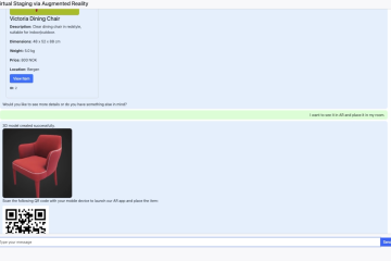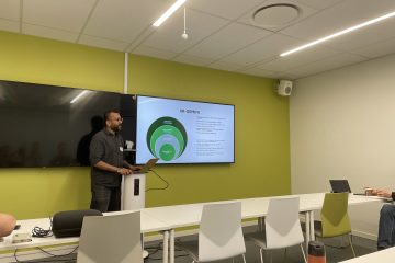
GEMINI XR Meeting in Oslo
In mid-May, partners and stakeholders from across academia, healthcare, industry, and the public sector gathered at SINTEF Digital in Oslo for a productive GEMINI XR meeting focused on the future of Extended Reality (XR) research and innovation in Europe. Representatives from SINTEF Community, SINTEF Digital, NTNU, Høgskolen i Molde, LandeFilm, Read more…